Friday, September 7, 2012

2012 Day 15 - Bonjour, France


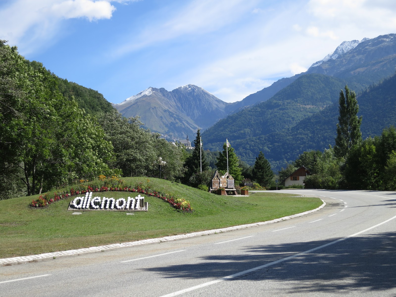
Flowers this morning along the road out of Le Rivier d'Ornan.  It's hard to believe there is snow on the peaks.


Today was my last full day at the King of the Mountain Lodge.  I had to return CarGo my rental van this morning, so I put my bike in the van and planned to have lunch in town and then have one last bike ride up Le Col d'Ornan after I had returned CarGo.


One last ride up Le Col d'Ornan.


Eight kilometers up the climb my French hometown, Le Rivier d'Ornan comes into view.  I decided to ride the last three kilometers to the top of the col.


Almost all of the cols and climbs to small towns or ski stations having timing markers at the summit.  You can rent timing chips if you are competitive about that sort of thing.  I am not all that competitive, mainly because my timing instrument of choice would be a calendar, not a stop watch.  If I was faster I am guessing I would be all over the timing chip rental, but for me it would be to depressing.  I am more tortoise than hare.


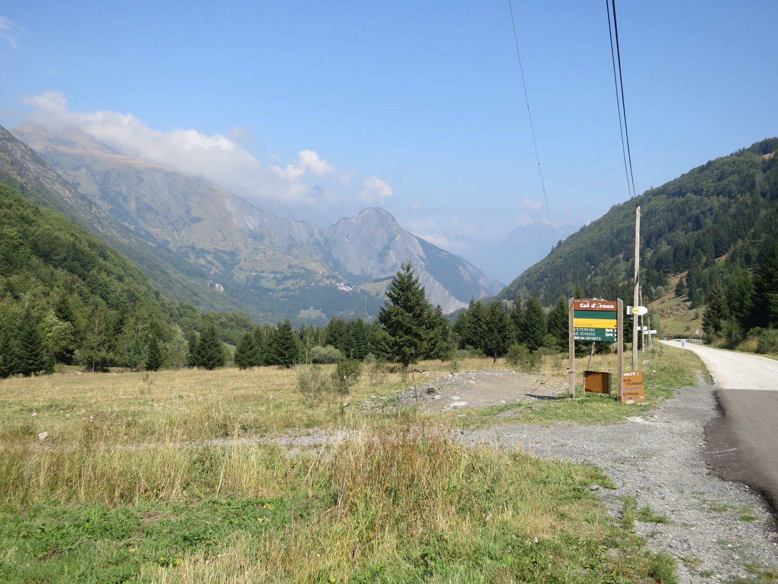
The view back down le Col d'Ornan from near the top.


Lilacs (I think) and butterflies at the top of the upper road back into Le Rivier d'Ornan 


In case you are wondering the entire Col d'Ornan is about a 2,000 foot climb from the Bourg d'Oisans side.  This was my last ride in the Alps this year, but I will be back for sure, God willing.

Tomorrow I travel to San Sebastian, Spain, and the next day I begin a sea-to-sea traverse of the Pyrenees from the Bay of Biscay to the Mediterranean.  As I wrote in my last post, I will blog it if I can.
Thanks, again!  Chris

Thursday, September 6, 2012

2012 Day 14 in France - North Side of Le Col de la Croix de Fer/Col de Mollard

I had the rental van for a second day and yesterday's plan went so well that I decided to do the something similar today.  The plan was to park on top of the Col du Glandon ride the mile or two up and over Le Col de la Croix de Fer ride down the north side of Le col de la Croix de Fer to Le Col du Mollard turn, ride up and over Le Col du Mollard to the valley floor then return to the van by going back up the route I had just descended.  There was some cloud cover, but it was a nice day.


The view up Le Col de la Croix de Fer from near the top of Le Col du Glandon.


View of the north side of Le Col de la Croix de Fer.  It's a big downhill from here.


Ski town in the valley on the north side of the col.  The road runs down to and through the town.

I had a great descent to the right hand turn up Le Col du Mollard.  This year's TDF had a mountain stage that went up Le Col du Glandon (my ride yesterday) and continued over Le Col de la Croix de Fer then up and over Le Mollard (my route for today).  There was still plenty of paint on the road, local advertising, for the TDF and that made following the route easier.


Small town going up Le Mollard.

The roadside markers were in rough shape on Le Mollard - nothing left but a weathered grey tombstone.


Top of Le Col du Mollard


From the top of the Col du Mollard there was still a huge descent to the valley floor.  The bottom of the Maurienne Valley itself is not all that pretty, but it is lined with some of the best climbs in the French Alps and Le Col du Mollard is one of them.  It is heavily forested all the way to the bottom and that whole section is an endless series of switchbacks up through the woods.


The Maurienne Valley glimpsed through an opening in the trees.


The road back up - there is a long climb ahead of me.


One of the many switchbacks on the north side of le Mollard


I had a great climb followed by a nice six kilometer down hill on the south side of Le Col du Mollard.  From there the climb up Le Col de la Croix de Fer is pretty mellow until you hit the ski town in the throat of the col.  From there things get steeper.


Four Kilometers to the summit, next Kilometer averages 8% climb.


Switchback near the top.


Cows on road near the summit.

It was in the saddle for over six hours.  It was a great route, 52 miles and about 8,300 feet of climbing.  This will be my last big ride in the French Alps this year.  Tomorrow I will box my bike and head to the Pyrenees.  I will try and blog from there - the big issue is internet speed and connectivity.  Thanks for following along!  Chris

Wednesday, September 5, 2012

2012 Day 13 in France - The North Side of le Col du Glandon


Day 13 and my days in the Alpe d'Huez area are coming to an end.  I have two days of real riding left here so I decided to rent a van and go a little farther away to start my ride.  I have driven up the north side of le Col du Glandon, but I had never ridden it.  It looked awesome when I drove it so I decided to park my van at the top, descend it, then ride back up.  One advantage of this approach is that if it starts to rain you are warm because you are climbing and you can just load the bike into the van and avoid a freezing descent.


My rental van.  The easy way to the top of the Glandon.  Somehow I got the biggest vehicle in their fleet.  I did like the nod to Colorado Rockies Baseball All-Star Carlos Gonzales on the side of the van: 'CarGo!'


Before I descended I had lunch at the Chalet at the top of the Glandon


Then I rode back over the summit to start the descent.


It's all down hill from here!  At least until I turn around and ride back up it.


There was still plenty of paint on the road from this year's TDF.  And, evidently, someone really likes Alice.  I snapped some photo's of this - Alice Je T-Aime' - for Guy and Helyn back at the KOM Lodge, because, of course, their baby girl is name Alice.  Everybody loves Alice!

The view from the bottom.  19 Kilometers back to the van.


The col is still open.


I stopped at a bridge that the Germans evidently blew up during the Second World War.  No wonder the French around these parts love them so much.


The road keeps climbing so I have to keep climbing, too.


 More paint on the road from this year's TDF.


The view back down the col from close to the top.


I finally get back to the top.  The last three Kilometers are steep.

As you can see from the above photo it clouded up on top later in the day.  It was raining a bit when I hit the summit, but I just put the bike in the van and drove home.  I love it when a plan comes together.   Another great day on the bike.  I really enjoyed riding the col both ways.  It wasn't a long ride, around 27 miles, but a fun 4,775 foot descent then climb back up from the valley bottom.


Landscape Art at the top of the col for the TDF.

Tuesday, September 4, 2012

2012 Day 12 in France - Some Excitement


La vie est belle.  Above is my view as I left Le Rivier d'Ornan to ride up Alpe d'Huez this morning.  Below is a view of the beginning of the Alpe d'Huez climb from the valley highway.  It is hard to make out the first switchbacks and to me it is interesting how wild and undeveloped the terrain is at the start of the climb.


The Start of the Climb up Alpe d'Huez


Above is a view from near the top of Alpe d'Huez.  The white cloud visible near the center of the photo  above the tree in the foreground and the first ridge line in the background is the top of the little col above Villard Reymond.  I took the photo below looking back across the valley at Alpe d'Huez form that very notch a few days back on my Villard Reymond ride.


I had big plans for the day when I left the KOM Lodge.  I though I might ride over the top of Alpe d'Huez then drop down the Col de la Sarenne and maybe ride up Le Deux Alpes road.  But the weather looked sketchy, so I decided to drop back down the Alpe d'Huez road, and then, maybe, take the Le Garde balcony road up the valley and either yo-yo it back to Alpe d'Huez or ride the road up to Le Deux Alpes ski station from the valley bottom.  I would see what the weather was doing and how I felt when I got there.

It is a good thing that I decided to just descend because all bets were off when I hit the fifth switchback from the top.  I heard a tremendous boom, like the report of a gun, and my front tire was instantly flat, the bead of the tire blown clean off of the rim of the wheel on one side.  I managed to stop without going down and when I surveyed the damage I could see that the rim had failed.  It was bent and no longer serviceable.  I was able to bend it back a bit and then I put a new tube in and made the slowest descent of Alpe d'Huez on record.  I could only brake on the rear rim, so I stopped a couple of times on the way down to let the rear rim cool.

I called Guy at the KOM Lodge and he arranged for Helyn to meet me at the bike shop in town (Bourg d'Oisans).  She was in town anyways with Alice at preschool so that worked out nicely.  Have I mentioned what awesome hosts Guy and Helyn are?  I believe I have.  Guy has lent me an absolutely bomb proof front rim for the rest of my trip.  I was done riding for the day, but it was better having this happen here in Bourg d'Oisans than in the middle of nowhere in the Pyrenees.  And thank God I didn't ride the Col de la Sarenne and have the rim explode on what is essentially the dark side of the moon compared to the main road on the front of Alpe d'Huez.

Thanks to Guy I would have a good night's sleep and no worries about whether or not I could ride tomorrow.  Guy had me dialed in and ready to go.


Monday, September 3, 2012

2012 Day 11 in France - Le Col de la Croix de Fer

The weather looked good for today so I decided to ride up le Col de la Croix de Fer.  On the way up to it you can also hit the top of le Col du Glandon, the tops of the two cols are within a mile or two of each other, they both cross over the same ridge line.  The ride started with the usual descent down the Col d'Ornan, and then a left turn at the bottom of the col onto the main road down the valley and up to the town of Allemont.


Coming into Allemont


The switchback road up onto the dam above Allemont.


The view across the reservoir towards le Col de la Croix de Fer.


Both cols are 'Ouvert' - Open


Blue skies and a flowering bush at the bottom of the road up to Le Rivier d'Allemont


You may recall that I had made the climb up to Le Rivier d'Allemont five days ago, but had turned back because the weather didn't look very promising.  Today the weather was perfect.


War Memorial in Le Rivier d'Allemont

After Le Rivier d'Allemont the road makes a serious descent down four or five hairpin turns into a valley at the bottom of the col.  At some point in the past the original high road along the edge of the col collapsed.  Now you loose a big chunk of the elevation you had gained on the climb up to Le Rivier d'Allemont and then have a steep climb all the way up to the dam and the reservoir that are bring you closer to the top of the col.  The view below is of the big drop in the road after Le Rivier d'Allemont.  You have to climb back out of the same hole on the way back down from the summit.


After a great deal of climbing the dam comes into sight.


You ride alongside the reservoir for a mile or so.


The white dot about the size of a pinhead in the distance is the small chalet restaurant at the bottom of le Col du Glandon.  To the left behind it is the Glandon.  To the right it is another mile or two up to le Col de la Croix de Fer.


 Sheep crossing the road.


Best usage of signage ever.


The view from the road while waiting for the sheep to go by.


More Sheep.


Giant bicycle sculpture at the top of le Col du Glandon.  The Tour came over it this year.


View from the Glandon.


Me at the top of the Col de la Croix de Fer


Le Col de la Croix de Fer


View of the Switchbacks below the dam on the way down into the big hole between the dam and Le Rivier d'Allemont


This was my biggest day on the bike so far, 52 miles with about 7,400 vertical feet of climbing.  But the day went great and I felt fine at the end of it, which is a good thing because I have lots of riding left and some bigger days ahead.